Travel & Info
Everything you need to find us, get to the trail, and read the conditions before the next stretch.
Transit schedules change seasonally. The links below go to the official source — always confirm the current timetable before you rely on a connection.
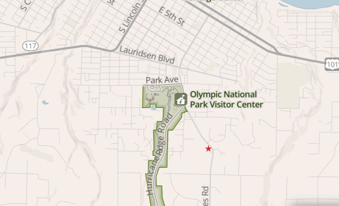
Our place
3822 S Mount Angeles Rd
Port Angeles, WA 98362
About half a mile from the Olympic National Park Visitor Center.
Getting here & to the trail
Port Angeles is reachable by bus from the Seattle area, and Clallam Transit runs the local routes that get hikers out toward the western trailheads and the coast. Fares are low and the drivers are used to backpacks.
Full route list: clallamtransit.com/routes. Rider information: 360-452-4511.
Weather
The Olympics make their own weather. Check more than one forecast.
Tides
The coastal stretch has headlands that are impassable at higher tides — plan your walking window around the tables.
Maps & outfitters
For the ocean portion of the trail we recommend the Custom Correct maps — they note the tide height at which each headland becomes impassable, so you can plan ahead. Available online or from our two favorite outfitters in town:
Swain's General Store
Classic everything-store — fuel, gear, food, maps. Map →
Brown's Outdoor
Downtown backpacking shop for gear repairs and replacements. Map →
Resupply in town
Port Angeles is a good resupply stop — you can mail yourself a box ahead, or just shop in town. Everything below is a short hop from us.
Mailing a resupply box (General Delivery)
The post office will hold a package for you under General Delivery. Address it like this:
YOUR NAME (as on your ID)
General Delivery
Port Angeles, WA 98362
Please hold for PNT hiker — ETA [your date]
Groceries & fuel
Safeway
Full grocery with a pharmacy, downtown at 110 E 3rd St — the main resupply stop. Map →
Country Aire Natural Foods
Downtown natural-foods market at 200 W 1st St — good for dietary needs, bulk, and trail snacks. Map →
Stove fuel (canisters and white gas) is best found at Swain's or Brown's Outdoor, listed above — handy, since you can't mail fuel to yourself.
Heading out a hard section? Ask us before you go — we're happy to talk through tides, the coast route, transit timing, and weather windows.